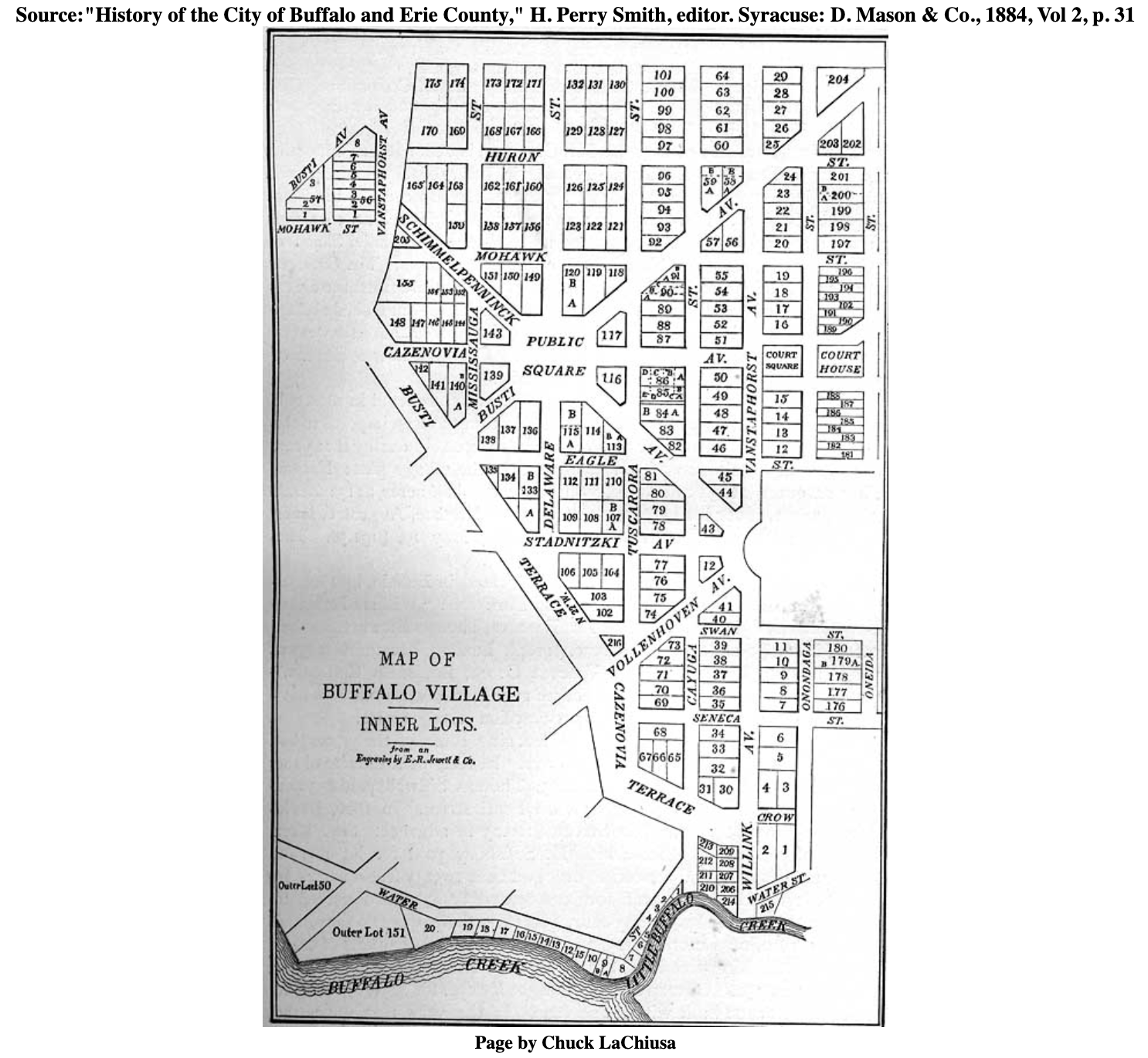
Coming along the lake one would need to have either a canoe or a flat-bottom French “bateaux” to make it over the sandbar that was deposited at the mouth of the Buffalo river. The inability to access the river with a larger boat likely delayed the development of the area by outsiders. The sandbar worked as an economic barrier to entry, that until a solution was developed secured the area for the Senecas, Wenney, Joseph Hodges, and William Johnston.
The area that downtown Buffalo now occupies was once heavily wooded, with rolling hills, a healthy watershed and plump quail, pheasant and turkeys running about. Butterflies such as the Cloudless Sulphur yellow, the Karner Blue, Silvery Blue, and American Copper fluttered about. It was a little paradise. And like the magical town of Brigadoon, Scotland, every winter the area became cut off from the rest of the world with the snowfall. The Senecas, two Dutchmen, an African, and a Briton, plus their wives and children were sealed off from outsiders.
Up until the time the surveyors came in 1796, travelers looking to relocate from Albany, Syracuse, and Rochester, kept going past the turnoff towards Buffalo Creek, and headed onward to Lewiston to the north. These families were looking for higher populations in which to live. Most people traveling through the area for fur trading came via water through Ontario and up the Niagara River. Then to the footpath around Niagara Falls, and back onto the water, onward and up the river to Lake Erie. There, during the 1790s, they would have encountered this small outpost of people.

It had to be over 10 years ago when I found a document of interest that I will soon divulge to you. At first I simply used it to get a sense of the population. I did not readily realized its significance. You see, I thought at the time, the location of William Johnston’s, Winney’s, and Hodges’ homes were known, as in we could GPS it. While the document that I am referring to is not a map, it does account for every non-indigenous person living along the shores of the Buffalo River and their approximate location relative to one another.
For the record, there were 12 households when Ellicott arrived at the mouth of the Buffalo River, including Joseph Hodges and his wife, Midaugh with Lane, Johnston, and the Palmers. Winney was gone when Ellicott arrived. It is interesting to note that many more of the original settlers came earlier than previously thought. Which would lead to problems, as people were now having to pay rent to the Holland Land Company for land they previously thought was in the hands of the Senecas.
Now, hold on to your horses, because I will share this undisclosed document with you all… eventually. But I thought a bit of a scavenger hunt may be of interest due to the recent snow.
While this particular document is not a map, one other document – the original “field notes” of the survey – actually does pinpoint Winney’s house. If it really is where it says it is, then when the Hamburg Canal was put in, surveys may have missed it.
Fortunately, Main Street already existed, and the Palmers already had a post located on that street. As for Hodges? His home appears to have been roughly between the two, although there is no official documentation. This is the mystery that is currently unfolding. Is it possible that we will finally be able to identify the exact location of Hodge’s house in 2022? If so, with dirt fill often being brought in and placed on top of old sites, a portion of the original site may still exists.

